

When planning a bucket-list expedition to the African continent, one foundational question stands out for mountaineers, trekkers, and safari enthusiasts alike: which is highest mountain in africa? Knowing the answer to this is the first step toward planning an unforgettable high-altitude trekking expedition.
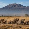
The undisputed crown belongs to Mount Kilimanjaro, a majestic, free-standing volcanic massif rising out of the East African plains in Tanzania. Standing at an awe-inspiring 5,895 meters (19,341 feet) above sea level, Kilimanjaro represents the absolute pinnacle of African topography.
For travelers who want to combine the challenge of scaling this peak with world-class wildlife viewing, an overland self-drive safari is the definitive way to experience the region. This complete guide answers all your structural questions about the continent’s topography, provides an aggressive deep dive into its loftiest summits, and maps out a highly practical, step-by-step self-drive itinerary from Nairobi through the Masai Mara to the base of Mount Kilimanjaro.
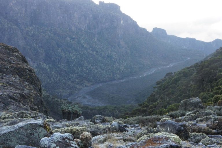
Understanding the Topography: Which is Highest Mountain in Africa?
To understand which is highest mountain in africa, you have to look at the unique tectonic activity of the East African Rift System. Unlike the Himalayas or the Andes, which are jagged chains formed by tectonic plates colliding and folding upward, Africa’s tallest peaks are primarily volcanic isolates.Mount Kilimanjaro: The Roof of Africa
Mount Kilimanjaro is a stratovolcano composed of three distinct volcanic cones: Kibo, Mawenzi, and Shira.- Kibo: The highest cone, which remains dormant and holds the ultimate summit point, Uhuru Peak.
- Mawenzi: A craggy, technically challenging peak rising to 5,149 meters.
- Shira: An older, collapsed volcanic crater that forms a stunning high-altitude plateau at 3,962 meters.
How Africa’s Tallest Mountains Compare
To place Kilimanjaro within its wider geographic context, it helps to examine how the continent’s top summits measure up. The table below lists the primary massifs of Africa by their ultimate altitude.| Mountain Massif | Highest Peak & Elevation (Meters) |
|---|---|
| Mount Kilimanjaro (Tanzania) | Uhuru Peak – 5,895m |
| Mount Kenya (Kenya) | Batian – 5,199m |
| Rwenzori Mountains (Uganda/DRC) | Margherita Peak – 5,109m |
| Mount Meru (Tanzania) | Socialist Peak – 4,562m |
| Simien Mountains (Ethiopia) | Ras Dashen – 4,550m |
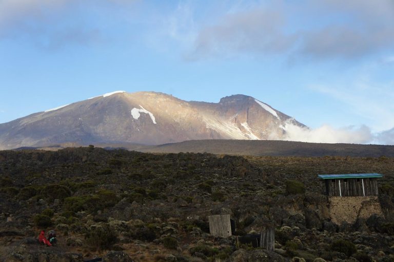
Why Kilimanjaro Dominates Global Adventurer Goals
The global obsession with finding out which is highest mountain in africa isn’t just a matter of academic geography. For trekkers, Kilimanjaro offers a rare opportunity: it is one of the highest accessible mountains on earth that requires no technical mountaineering skills, ropes, ice axes, or harnesses to reach the summit via standard routes. It is often described as a “walk-up” mountain, though its extreme altitude makes it a serious, physically demanding undertaking.
When you climb Kilimanjaro, you experience a radical ecological journey across five distinct climate zones, which is equivalent to traveling from the equator to Antarctica in less than a week:
- Cultivation Zone (800m – 1,800m): Fertile, rain-soaked lower slopes used for coffee and banana farming.
- Montane Rain Forest (1,800m – 2,800m): A dense, misty canopy home to colobus monkeys, mosses, and endemic orchids.
- Heath and Moorland (2,800m – 4,000m): Alpine meadows dominated by prehistoric giant groundsels (Senecio) and lobelias.
- Alpine Desert (4,000m – 5,000m): A harsh, desolate landscape with intense solar radiation and massive diurnal temperature swings.
- Arctic Zone (Above 5,000m): An arid world of bare rock, loose scree, massive ice walls, and permanent glaciers.
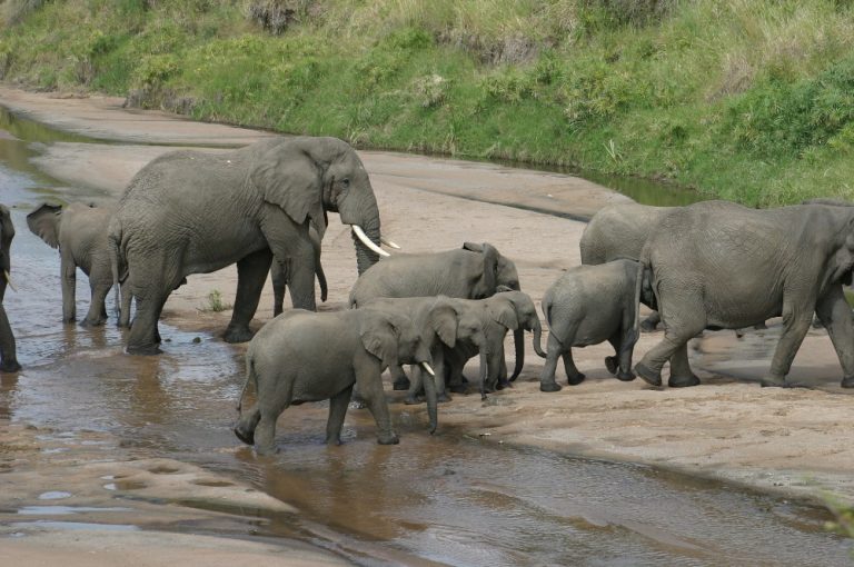
Your Self-Drive From Nairobi Through Masai Mara To Kilimanjaro
For independent travelers, there is no better way to appreciate East Africa than combining a classic big-game safari with a high-altitude mountain climb. This self-drive itinerary begins in Nairobi, loops through the plains of the Masai Mara National Reserve, crosses the international border into Tanzania, terminates at the base of the highest mountain in Africa, and loops back to Nairobi.
Route Overview and Logistics Checklist
Before turn-key ignition, a self-drive safari covering two countries demands precise preparation.
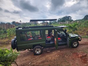
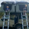
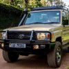
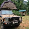
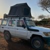
- Vehicle Selection: A fully equipped, 4×4 overland vehicle (such as a modified Toyota Land Cruiser or Nissan Patrol) with high ground clearance, dual fuel tanks, and dual spare tires is non-negotiable.
- Cross-Border Documentation: You must obtain a COMESA yellow card for third-party insurance, a logbook verification letter, a power of attorney if renting, and a temporary importation permit (TIP) for the vehicle at the Namanga border.
- Navigation: Download offline mapping systems like Maps.me or Tracks4Africa, alongside a physical road atlas. GPS signal can drop significantly inside remote park sectors.
Day-by-Day Expedition Itinerary
Day 1: Nairobi to Masai Mara National Reserve
- Driving Distance: ~250 kilometers
- Estimated Driving Time: 5 to 6 hours depending on traffic and road conditions.
- Route Profile: Depart Nairobi via the standard A104 highway, descending the breathtaking escarpment of the Great Rift Valley. Refuel fully at Narok town, the final major trading center before entering the wilderness. The final 60 kilometers transitioning to the Sekenani or Talek gates consists of rough, unpaved corrugated gravel tracks.
Accommodation Options
- Luxury: Mara Serena Safari Lodge (perched high on a hill overlooking the Mara River).
- Mid-Range: Ashnil Mara Camp (luxury tents positioned along the Mara River bank).
Day-by-Day Expedition Itinerary
Day 1: Nairobi to Masai Mara National Reserve
- Driving Distance: ~250 kilometers
- Estimated Driving Time: 5 to 6 hours depending on traffic and road conditions.
- Route Profile: Depart Nairobi via the standard A104 highway, descending the breathtaking escarpment of the Great Rift Valley. Refuel fully at Narok town, the final major trading center before entering the wilderness. The final 60 kilometers transitioning to the Sekenani or Talek gates consists of rough, unpaved corrugated gravel tracks.
Accommodation Options
- Luxury: Mara Serena Safari Lodge (perched high on a hill overlooking the Mara River).
- Mid-Range: Ashnil Mara Camp (luxury tents positioned along the Mara River bank).
Day 2: Full-Day Game Drive in the Masai Mara
- Activity Focus: Immersive wildlife viewing across the endless savannah plains.
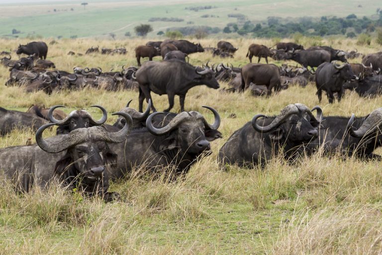
- Terrain Navigation: Set off at dawn when predators are most active. The Masai Mara is famous for its exceptional concentrations of lions, leopards, cheetahs, and elephants. Track your coordinates closely using your offline maps to avoid straying into off-road restricted sectors.
- Key Visuals: Drive down toward the Mara River loop to witness resident pods of hippos and massive Nile crocodiles basking along the sandbanks. If traveling between July and October, maintain extreme alertness around major river crossings to view columns of migrating wildebeest and zebras.
Accommodation Options
- Luxury: Sarova Mara Game Camp (permanent classic safari tents within a forested layout).
- Mid-Range: Mara Sopa Lodge (traditional round buildings nestled into the valley hillsides).
Day 3: Second Dedicated Day in the Masai Mara Ecosystem
- Activity Focus: Exploring remote western sectors or the Mara Triangle.
- Terrain Navigation: Cross over via the internal bridges to access alternative sectors of the reserve. The Mara Triangle features pristine tracks and lower vehicle density. Use this day to focus on locating rarer species like the black rhino or tracking elusive nocturnal leopards returning from nocturnal hunts.
- Cultural Optional Add-on: Dedicate a 2-hour window midday to stop at a traditional, non-commercialized Maasai Manyatta village outside the main gates to understand local pastoralist lifestyles.
Accommodation Options
- Luxury: Entim Mara (unfiltered wilderness setting directly overlooking the main river path).
- Mid-Range: Basecamp Masai Mara (eco-friendly permanent tents bordering the Talek River boundary).
Day 4: Masai Mara to Nairobi via Narok
- Driving Distance: ~250 kilometers
- Estimated Driving Time: 5 to 6 hours.
- Route Profile: Trace your steps back along the rough dirt track to Narok for a vehicle check, fluid top-up, and lunch. Re-ascend the western wall of the Great Rift Valley, capturing panoramas of the volcano Mount Longonot along the way. Arrive back in Nairobi before evening rush-hour gridlock paralyzes the city center.
Accommodation Options
- Luxury: Hemingway’s Nairobi (boutique estate style located in the quiet suburb of Karen).
- Mid-Range: Tamarind Tree Hotel (modern rooms with seamless transit access along Langata Road).
Day 5: Nairobi to Moshi/Marangu (Base of Kilimanjaro) via Namanga Border
- Driving Distance: ~360 kilometers
- Estimated Driving Time: 7 to 8 hours (highly dependent on customs clearance processing speeds).
- Route Profile: Head south out of Nairobi via the smooth A104 tarmac toward the Namanga border post. This is a one-stop border post where immigration, health verification (yellow fever certificates), and vehicle customs are handled under one roof. Once inside Tanzania, take the newly paved highway via Arusha directly to Moshi or Marangu, situated under the southern shadow of the mountain.
Accommodation Options
- Luxury: Kaliwa Lodge (nestled directly in the lush foothills with views of the mountain).
- Mid-Range: Marangu Hotel (historic stone buildings offering deep mountaineering heritage).
Days 6 to 11: Conquering the Highest Mountain in Africa
To stand on the roof of the continent, you must temporarily park your vehicle and proceed on foot accompanied by licensed national park guides, porters, and cooks. For this standard, highly successful itinerary framework, we utilize a 6-day Machame Route program, which offers excellent acclimatization transitions.
1.Machame Gate to Machame Camp:Elevation: 1,800m to 3,010m | Trekking Time: 5-7 hours.
Complete your registration forms at Machame Gate. Begin your trek through the dense, rain-soaked montane forest zone. The trail can be slick with deep mud; walking poles are essential to preserve knee stability. Camp overnight amidst the giant heather bushes at the edge of the forest.
2.Machame Camp to Shira 2 Camp:Elevation: 3,010m to 3,840m | Trekking Time: 4-6 hours.
Exit the forest canopy and climb a steep, rocky ridge onto the vast open spaces of the Shira Plateau. The path levels out, exposing your first clear vistas of Kibo’s icy Western Breach. The air cools noticeably as you enter the moorland eco-zone.
3.Shira 2 Camp to Lava Tower to Barranco Camp:Elevation: 3,840m to 4,630m to 3,960m | Trekking Time: 6-8 hours.
A vital day for acclimatization. You will hike up to the volcanic formation of Lava Tower at 4,630 meters for lunch, intentionally exposing your system to thin air before descending to sleep at the lower Barranco Camp. This follows the golden mountaineering rule: “Climb high, sleep low.”
4.Barranco Camp to Barafu Camp:Elevation: 3,960m to 4,640m | Trekking Time: 7-9 hours.
Begin the morning by scrambling up the steep, non-technical Barranco Wall. Traverse through alpine desert valleys under the southern glaciers before making a final steep ascent up a desolate ridge to reach Barafu Camp (Base Camp). Prepare your warmest gear and rest early before the midnight summit push.
5.Summit Night: Barafu Camp to Uhuru Peak to Mweka Camp:Elevation: 4,640m to 5,895m to 3,100m | Trekking Time: 11-15 hours.
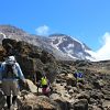
Wake up at midnight. Hike up steep scree switchbacks in freezing temperatures using your headlamp. Reach Stella Point (5,739m) at dawn, then walk the final snow-lined crater rim to Uhuru Peak—the absolute highest point in Africa. Take your photos quickly before descending to Mweka Camp.
6.Mweka Camp to Mweka Gate:Elevation: 3,100m to 1,640m | Trekking Time: 3-4 hours.
A steady, knee-jarring descent back through the tropical rainforest to Mweka Gate. Collect your official green or gold summit certificates from the Kilimanjaro National Park authorities, bid farewell to your mountain crew, and transfer back to your parked 4×4 vehicle.
Post-Climb Accommodation Options
- Luxury: Ameg Lodge Moshi (features beautiful gardens, a swimming pool, and premium fitness facilities for post-trek recovery).
- Mid-Range: Parkview Inn (centrally located in Moshi with a clean layout and mountain views).
Day 12: Kilimanjaro Base to Nairobi
- Driving Distance: ~360 kilometers
- Estimated Driving Time: 7 to 8 hours.
- Route Profile: Pack your overland gear, double-check your vehicle tire pressures, and drive west past Arusha back to the Namanga border control point. Re-enter Kenya with your multi-entry visas, and follow the highway straight north to Nairobi. Enjoy a celebratory dinner in the city to reflect on your journey.
Accommodation Options
- Luxury: Fairview Hotel (historic luxury hotel surrounded by acres of beautiful gardens).
- Mid-Range: Eka Hotel (conveniently located on Mombasa Road for seamless access to the airports).
Day 13: Souvenir Shopping, Departure, and Flight Home
- Activity Focus: Urban exploration and smooth flight transitions.
- Logistics Plan: Spend your final morning browsing the vibrant Maasai Market in Nairobi to pick up wood carvings, beaded jewelry, and local fabrics. Ensure you return your rental vehicle to the designated depot by midday.
- Final Transfer: Transfer smoothly to Jomo Kenyatta International Airport (JKIA) at least 3 hours before your scheduled international departure flight home.
Crucial High-Altitude Note: When preparing to scale the highest mountain in Africa, your success depends heavily on a slow pace—known locally in Swahili as “Pole Pole”. Pushing too fast drastically increases your risk of acute mountain sickness (AMS). Give your body the time it needs to adapt to the thin air, stay hydrated, and enjoy every step of the journey.
No responses yet